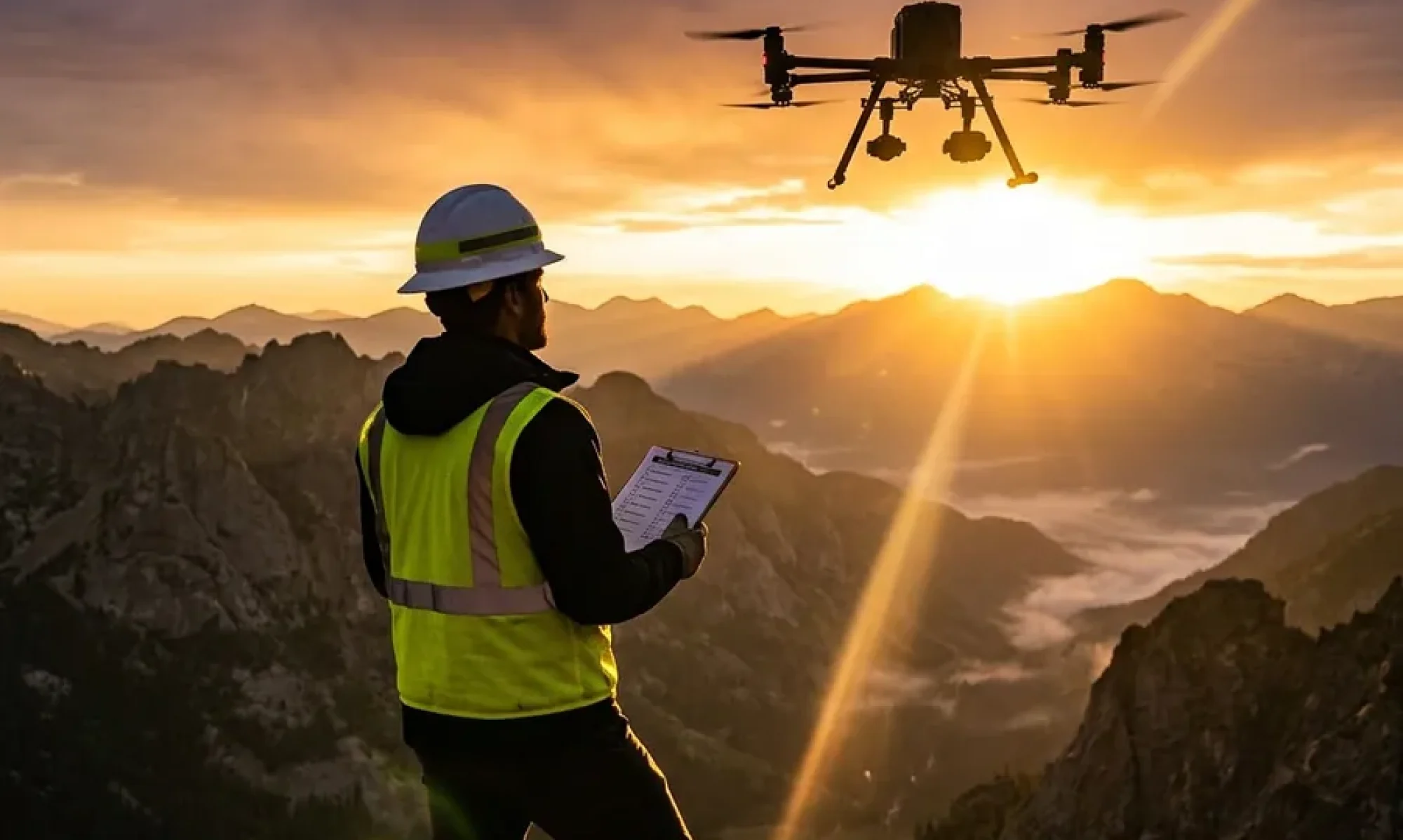

Flying the mission is half the job. Delivering data that meets client quality standards — every file, every time, with verified completeness — is the other half. And for many commercial UAS operators, the delivery half is where professionalism breaks down.
Blurry images passed to a client. Files missing geotag data. Incomplete uploads discovered only when the client opens the delivery. Upload interruptions on rural connections that result in partial datasets. These problems lose contracts. Here’s how to build a delivery workflow that catches problems before they reach the client.
Why Photo QC Matters More Than Pilots Think
For inspection, mapping, and data collection clients, your photos aren’t just documentation — they’re the deliverable. An image that fails to meet technical specifications doesn’t just look bad; it may be genuinely unusable for the client’s processing pipeline.
Tower inspection clients need images with sufficient depth of field to identify equipment defects. Photogrammetry clients need consistent exposure and overlap for point cloud generation. Agricultural clients need calibrated imagery for accurate NDVI analysis.
Every image that fails quality standards is a rework. Every rework is a return trip or a disputed invoice. Building QC into your workflow before upload — not after the client reviews the delivery — is the difference between a professional operation and an amateur one.
The Core Photo Quality Parameters
For most commercial UAS photography, the critical technical parameters are:
Aperture. Narrower than F/4 risks diffraction softening at common UAS camera sensor sizes. F/4 or wider is the standard for most platforms and is the threshold where image sharpness becomes reliably consistent across varied lighting.
ISO. Above ISO 400, digital noise becomes visible and may interfere with feature detection in photogrammetry and inspection analysis. ISO 100–400 is the clean window for most commercial work.
Shutter speed. Motion blur from a moving drone at the wrong shutter speed is one of the most common QC failures. Your minimum shutter speed should be fast enough to freeze drones motion at typical survey speeds.
EXIF/XMP metadata completeness. GPS coordinates, altitude, gimbal angle, and timestamp embedded in image metadata are critical for photogrammetric processing, KML generation, and data management. Files with incomplete or corrupt metadata may be rejected by client processing pipelines.
How FlightDeck’s QC Uploader Works
FlightDeck’s QC Uploader automates the quality check before any file is allowed into the upload queue. Every image in your upload folder is analyzed automatically against defined quality parameters. Images that fall outside thresholds — below F/4, above ISO 400, or with metadata issues — are flagged before upload begins. You review the flags, address the issues, and only qualified files proceed.
For survey and mapping operations using Propeller Aeropoints, the QC Uploader adds another layer: KML altitude correction using geoid undulation calculations from your ground control point data. The result is KML files where pins render at correct orthometric elevation in Google Earth — not at raw GPS altitude, which in most of North America sits above the actual ground surface.
AWS S3 Integration and Multi-Threaded Upload
For clients who receive data directly to cloud storage — increasingly common in enterprise inspection and data collection — FlightDeck connects directly to your AWS S3 bucket. Configure your credentials once and all qualified uploads go to S3 with multi-threaded processing running up to ten parallel threads.
This matters specifically for field operations on rural LTE or intermittent signal: the multi-threaded engine is built to handle interrupted connections. A SQLite manifest database tracks every file’s upload status — pending, uploading, uploaded, failed. When a connection drops, the upload resumes exactly where it left off. No duplicate uploads. No missed files. No manual retry.
Delivery Verification
After upload completes, FlightDeck runs file-size verification and completion checks to confirm every file arrived intact. A delivery that passes these checks is a delivery you can represent to your client as complete and verified — not just “I think it all went through.”
Your FlightDeck Confirm Progress dashboard shows every delivered site with color-coded status: uploaded, forms submitted, fully complete. At the end of every field day you know exactly where your project stands.
Download the free 30-day trial and build the QC and delivery workflow that keeps clients coming back because your data is always right the first time.