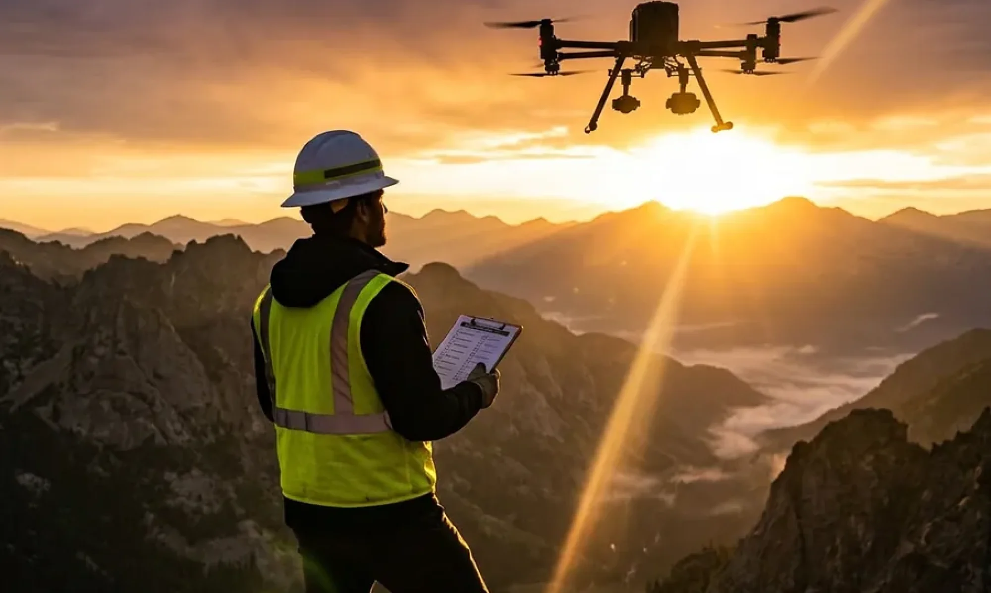
Every commercial UAS pilot has been there.
You deliver a dataset — hundreds of photos from a long day on a tower site — and two days later the client comes back. Half the photos are soft. A handful are missing GPS. There’s a gap in coverage on the north face that nobody caught until the data went into processing. You drive back out. You reshoot. You eat the cost.
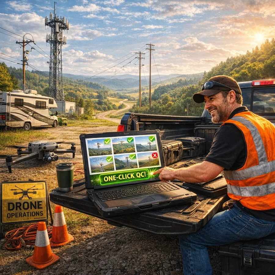
That scenario is almost entirely preventable. The problem isn’t the field work — it’s the gap between collecting data and handing it off, where quality issues can hide undetected. FlightDeck’s QC Uploader closes that gap by running a structured quality check on every image before it ever reaches your client.
What the QC Uploader Actually Checks
The QC Uploader runs three checks against every JPEG in your dataset. These aren’t arbitrary — they’re the failure modes that consistently show up in rejected deliverables.
Aperture (F-stop)
The threshold is F/5. Any photo shot at an aperture wider than F/5 — F/4, F/2.8, and so on — gets flagged. On tower inspection work this matters more than most pilots realize. Wide apertures produce shallow depth of field. On a structure with antennas, cables, mounting hardware, and the tower face itself all at slightly different distances, a wide aperture means some of it is going to be soft. If the antenna array you were hired to document is the element that fell outside the focus plane, that image fails — even if it looks fine at 25%.
The QC Uploader catches these before they’re in your delivery folder.
ISO Speed
The threshold is ISO 400. Anything above ISO 400 is flagged. High ISO introduces digital noise that shows up clearly in processed deliverables — pitting on flat surfaces, smearing on detail, artifacts in shadow areas. Clients doing structural assessment from your imagery need clean data. A noisy image at ISO 800 that looks acceptable on a phone screen can be unusable when it goes into a photogrammetry pipeline or a formal inspection report.
GPS Coverage
Every photo is required to have a GPS fix. Images missing GPS coordinates are flagged separately from the aperture and ISO checks. For inspection work, a photo without GPS is essentially an orphan — it can’t be placed in a KML, it can’t be matched to a structure location, and it creates gaps in the spatial record. Missing GPS usually means something went wrong during the flight, and it’s information you want before delivery, not after.
Flags Don’t Block — They Inform
An important design point: flagged photos don’t stop the upload. The QC Uploader surfaces the issues in an analysis report so you can review them and make a decision. Maybe the flagged photos are establishing shots where exposure priority overrode the usual settings and the softness doesn’t matter for those specific frames. Maybe a handful of ISO flags on a cloudy afternoon are acceptable given the context.
That’s your call to make — but you need the information to make it. What the QC Uploader eliminates is the version of events where those images go to the client unchecked and they make the call for you.
Where This Fits in the Workflow
The QC Uploader is Phase 1 of a three-phase delivery workflow built into FlightDeck.
After the EXIF analysis runs, Phase 2 builds a KML file for each flight sub-folder — a Google Earth-ready file with every photo represented as a camera icon at its GPS position, with a view frustum showing the gimbal direction. The camera icons are color-coded by overlap percentage: green for sufficient overlap, yellow for marginal, red for a gap that may need a re-fly. That color-coded KML is what goes to your client or into your project archive, and it tells anyone who opens it exactly what was captured and where.
Phase 3 is the upload itself — a multi-threaded AWS S3 transfer with a local manifest database that tracks every file. If your connection drops mid-upload on a rural site, you restart the upload and already-confirmed files are automatically skipped. You don’t re-upload a thousand files because the cell signal dropped on file 847.
The 3D Viewer
Built into the QC Uploader is a 3D photo viewer that renders your dataset spatially using the gimbal and GPS data from each image. You can inspect your coverage in three dimensions before upload — see where the gaps are, check that the angular coverage around the structure is complete, verify that the altitude banding is consistent. Click any camera icon in the viewer to pull up the full-resolution photo.
This is the kind of review that used to require loading everything into external software after the fact. It happens inside FlightDeck before anything leaves your machine.
Catching Problems Is Faster Than Fixing Them Later
A QC flag caught in the field — or even back at the office before upload — is a fifteen-minute fix. A QC problem caught by the client after delivery is a reshoot, a delay, a conversation about why it happened, and a question about whether your next project gets approved.
The QC Uploader doesn’t make field decisions for you. It makes sure that by the time data leaves your hands, you’ve seen everything there is to see about it.
FlightDeck’s QC Uploader is included in every license tier. Try FlightDeck free for 30 days and run your next dataset through it before delivery.