
Description
Local photogrammetry & 3D digital-twin processing
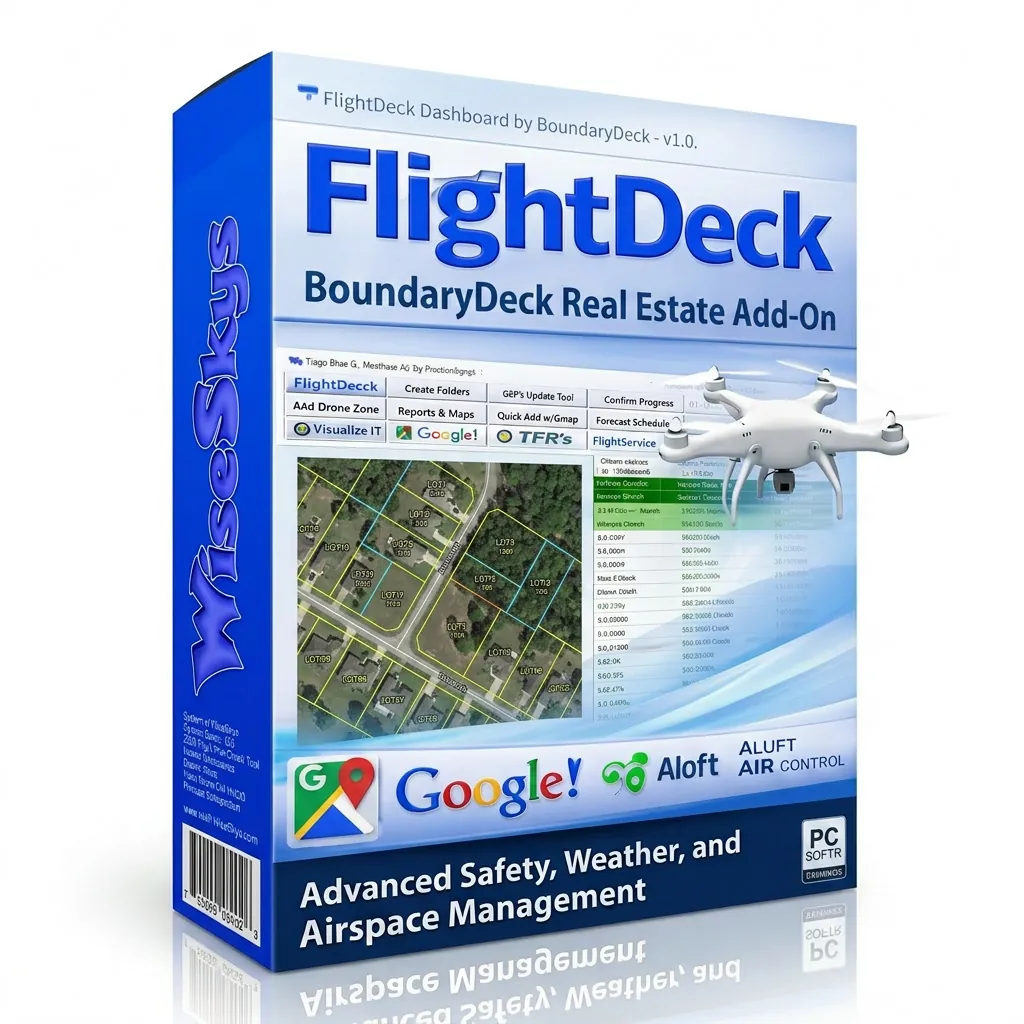
What it does
Drop in the imagery you captured in the field and BoundaryDeck reconstructs orthomosaics, dense point clouds, textured 3D meshes, and complete digital twins right on your workstation. Recorded property and parcel boundaries can be overlaid onto your maps and models, so the output is accurate to the site and ready for the client.
Key features
- Local, on-device processing on your own GPU — no upload queue, no waiting on a cloud server
- Produces orthomosaics, dense point clouds, textured 3D meshes, and digital twins
- Property-boundary and parcel-line overlay for site-accurate deliverables
- Purpose-built for photogrammetry and digital-twin workflows
- Runs fully offline — your imagery and client data never leave your machine
- No per-acre fees, no processing credits, no recurring cloud bill
- Tuned for DJI Mavic 3 Enterprise and Phantom 4 Pro V2.0 captures
Who it’s for
Commercial UAS operators, surveyors, real estate and infrastructure teams who need professional mapping and 3D deliverables — without a five-figure annual software bill or handing their data to a third-party cloud.
Why it stands out
Cloud mapping platforms charge by the seat or by the acre, every single year, and keep your data on their servers. BoundaryDeck does the heavy lifting locally: you own the license, you own the hardware, and you own the data.
Try BoundaryDeck free for 30 days. Get started at WiseSkys.com.


Reviews
There are no reviews yet.